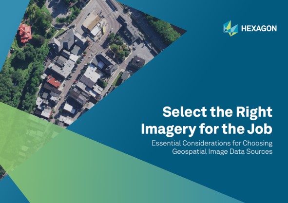
Select the Right Imagery for the Job
Essential considerations for choosing geospatial data sources
Geospatial imagery capture methods and vendors have proliferated in recent years. With so many new choices, the different levels of accuracy and quality vary greatly.
It’s more important than ever to have a firm grasp on the advantages and disadvantages of how imagery is acquired, processed and delivered so that you can select the best imagery for your organization’s needs.

In our new guide, you will learn:
- The pros and cons of drone, aerial and satellite imagery
- Six considerations for evaluating GIS data
- The importance of resolution
- How the Content-as-a-Service (CaaS) model simplifies how you purchase and store data
- Nine tips for finding the perfect geospatial imagery partner that provides data accuracy you can trust
Whether you have been procuring geospatial data for projects for decades or are new to the field, "Selecting the Right Imagery for the Job" can serve as a reference guide as you evaluate data vendors for your next project.

